Current Weather Conditions on 26th July 2014 @ 9.00 pm.
The axis of monsoon trough at mean sea level now passes through Bikaner,
Jaipur, Jhansi, Gaya, Bankura, Digha and thence southeastwards to north
Andaman Sea across east central Bay of Bengal. It extends upto 3.1 kms above sea level passing across the same region.
There is a Cyclonic Circulation over North Bay of Bengal and neighborhood which now lies over Northwest Bay of Bengal and neighborhood and extends up to 4.5 kms
above sea level. Under its influence a low pressure area would form over the same region during next 24 hours.
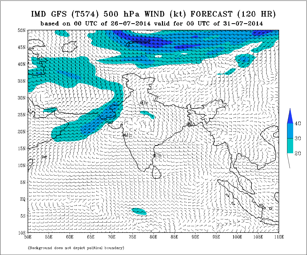
IMD Weather Chart of 500 hPa Valid for 00 UTC 31st July 2014
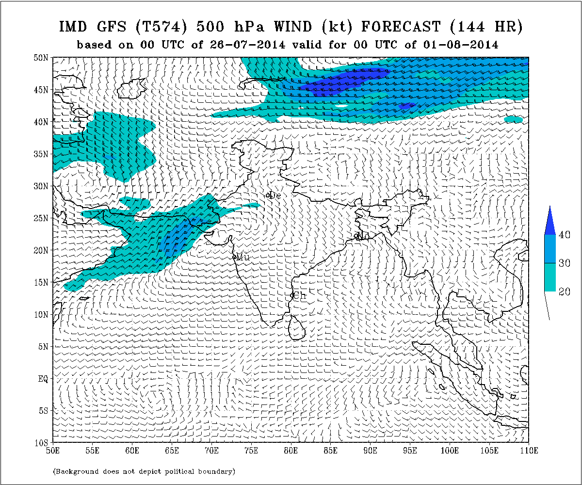
IMD Weather Chart of 500 hPa Valid for 00 UTC 1st August 2014
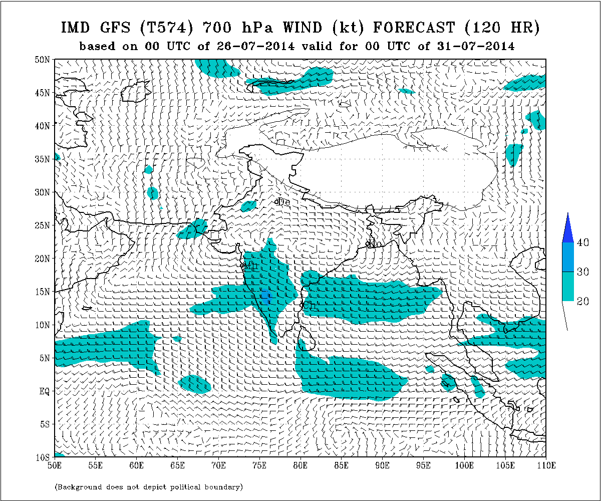
IMD Weather Chart of 700 hPa Valid for 00 UTC 31st July 2014
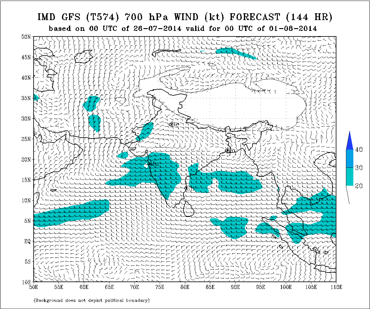
IMD Weather Chart of 700 hPa Valid for 00 UTC 1st August 2014
Forecast: 26th to 31st July 2014
The last round of rainfall over most parts of Saurashtra, Kutch & Gujarat has ended. However, scattered showers would occur over parts of Saurashtra & Kutch, while light medium rain would occur over parts Coastal Saurashtra & Gujarat during 26th to 28th July. The area of rain coverage would not be widespread.
A Low Pressure is expected to form within 24 hours and subsequently after three days the associated Cyclonic Circulation at 700 hPa & 500 hPa will be located over Madhya Pradesh, Gujarat and Saurashtra on 30th July & 31st July. However, the exact scenario could change, so updates will be given on Monday the 28th July. If the scenario materialize as per the charts given above, there would be a fairly good round of rainfall over Saurashtra, Gujarat & Kutch on 29th July to 1st August.
બંગાળની ખાડી માં લો પ્રેસર થવાનું છે. તેના અનૂસંગિક સૈક્લોનીક સર્કુલેસન તારીખ ૨૯, ૩૦, ૩૧ ના એમપી અને ત્યાર બાદ ગુજરાત અને સૌરાષ્ટ્ર ઉપર છવાશે તેવું પ્રાથમિક અંદાજ છે. હાલ ના અનુમાન પ્રમાણે સૌરાષ્ટ્ર, કચ્છ અને ગુજરાત ને વરસાદ નો રાઉન્ડ નો લાભ મળે તેવા સંજોગો છે..સોમવારે આ બાબતે અપડેટ કરવામાં આવશે.