Update of Weather Conditions on 3rd May 2019
અત્યંત તિવ્ર વાવાઝોડું ‘ફોની’ ઓડિશાના દરિયા કિનારે પુરી નજીક 3 મે 2019 ના સવારે ત્રાટક્યું.
UW-CIMSS ‘FANI’ IR/WV Satellite Image With Cyclone Track & Forecast Cyclone Track
on 3rd May 2019 @ 0300 UTC (08.30 am. IST)
1 knot= 1.85 km./hour
INDIA METEOROLOGICAL DEPARTMENT
BULLETIN NO. : 53 (BOB/02/2019)
TIME OF ISSUE:0830 HOURS IST DATED: 03.05.2019
Extremely Severe Cyclonic Storm “FANI” over Northwest & adjoining Westcentral Bay of Bengal: Cyclone Warning for Odisha, West Bengal and Srikakulam, Vijayanagaram & Visakhapatnam Districts of Andhra Pradesh Coasts: Red Message
Here below is a five page Document. Click Page Up Down arrows at the bottom left corner on the Document page to read all the pages.
indian_1556873577
Note: IMD considers wind speed based on 3 minute Average in their System classifications.
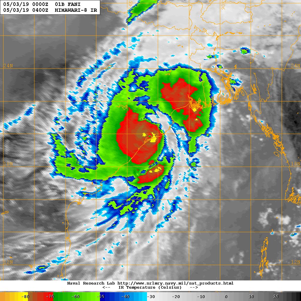
NRL IR Satellite Image of Cyclone 01B.FANI (Extremely Severe Cyclonic Storm FANI )
on 3rd May 2019 @ 0400 UTC (09.30 am. IST)
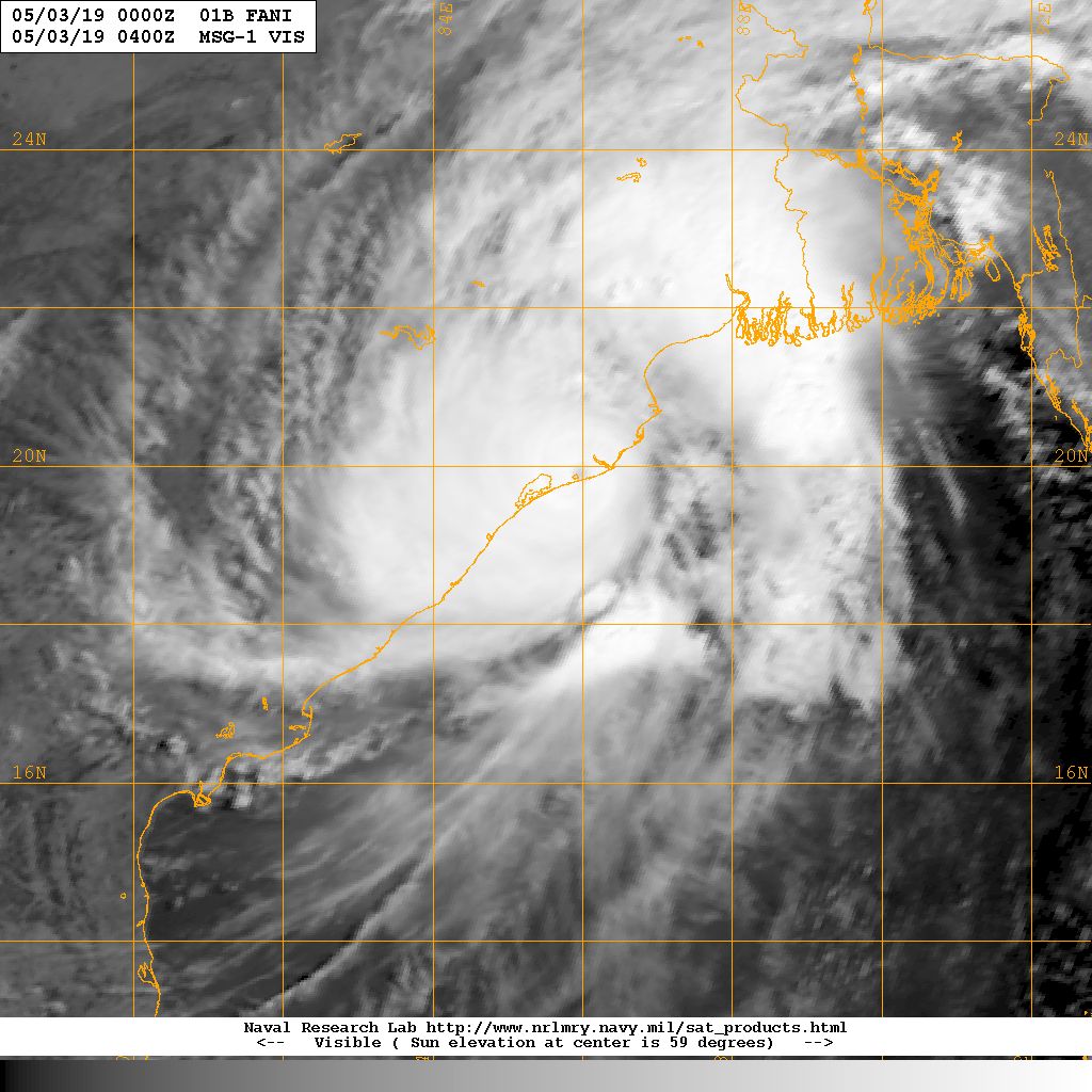
NRL Visible Satellite Image of Cyclone 01B.FANI (Very Severe Cyclonic Storm FANI )
on 3rd May 2019 @ 0400 UTC (09.30 am. IST)
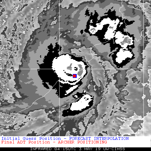
UW-CIMSS Automated Satellite-Based “FANI” Around Landfall Over Odisha Coast
Caution: Please refer/rely on IMD/RSMC Bulletins/Advisories for Storms & Weather related matter.
સાવચેતી:
સ્ટોર્મ કે હવામાન અંગે ની માહિતી માટે ભારતીય હવામાન ખાતા/ગવર્મેન્ટ ના બુલેટીન/સુચના પર નિર્ભર રહેવું.


