Current Weather Conditions on 31st October 2012 @ 8.00 am.
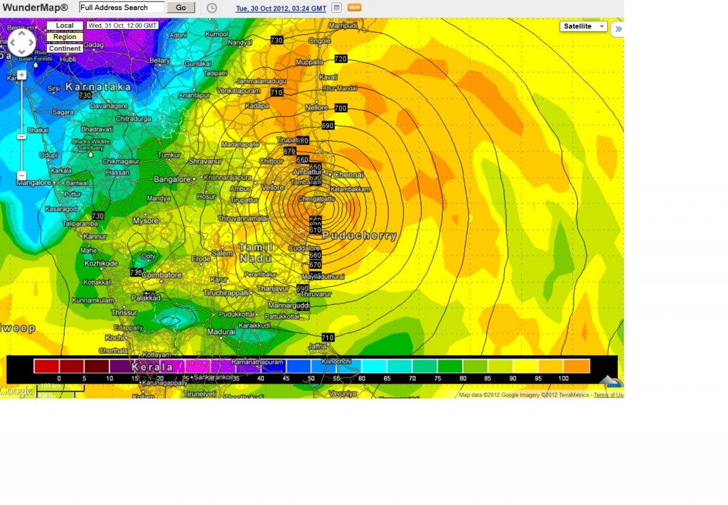
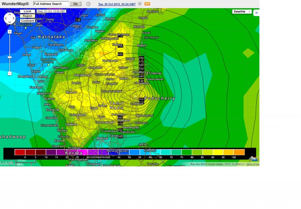
Cyclonic Storm “NILAM” is tracking towards the Tamilnadu Coast and various Forecast Models have different scenario of Landfall. Here are two such scenario using GFS and ECMWF forecast models from Wunderground. Here 925 Mb. Isobars have been used instead of Surface Isobars to get more Isobars on the map.
Based on ECMWF Forecast Model 1200 UTC run of 30th October the likely Landfall is Mahabalipuram at 1200 UTC today the 31st October 2012 ( 5.30 pm. IST)
Based on GFS Forecast Model 1200 UTC run of 30th October the likely Landfall is Pudducherry at 1200 UTC today the 31st October 2012 ( 5.30 pm. IST)
Based on GFS Forecast Model 1800 UTC run of 30th October the likely Landfall is Pudducherry at 0900 UTC today the 31st October 2012 ( 2.30 pm. IST)
Going by Forecast interpolation likely Landfall between Pudducherry and Mahabalipuram between 0900 UTC & 1200 UTC
The above Forecast is experimental and should not be used or relied upon.
Refer/Rely on RSMC/IMD Advisories/Bulletins
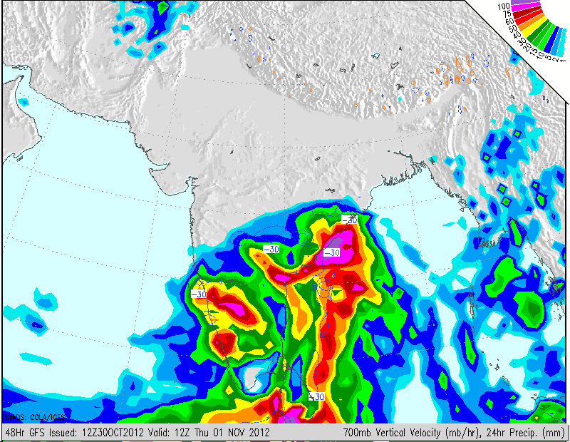
24 Hours Precipitation Maps from GFS for 1200 UTC 31st October
24 Hours Precipitation Maps from GFS for 1200 UTC 1st November
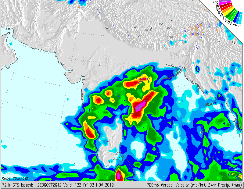
24 Hours Precipitation Maps from GFS for 1200 UTC 2nd November


Is posibility of rain in Surastra due to cyclon ?
very less possibility for rain but clouding will be there