Current weather Conditions on 25th May 2013 @ 10.30 am.
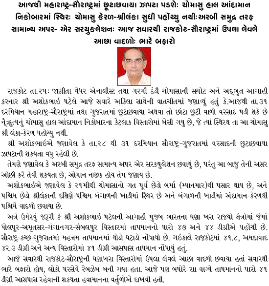
Heat wave conditions has prevailed over many States of India. The highest Maximum Temperature yesterday for centers above 47.0 C. were Dholpur 48.1 C., Amritsar 47.7 C., Ganganagar and Sambalpur 47.4 C. each & Hissar and Rentachintala 47.3 C. each. In Gujarat there has been marginal decline in Maximum temperature during the last three days. The Maximum at Ahmedabad was 42.3 C. and Rajkot was 41.8 C. yesterday. Scattered rain and thunder has been reported from Peninsular India.
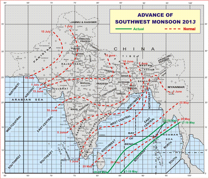
The Southwest Monsoon has been stagnant from 21st May. The Western end is located South of Shri lanka and the Eastern end near Myanmar. The northern limit of monsoon (NLM) continues to pass through Lat 5.0°N/Long 82.0°E, Lat. 10.0°N/ Long. 86.0°E, Lat. 13.0° N/Long.91.0° E and Lat.16.0°N/Long.95.0°E.
IMD Map Of Advance Of Southwest Monsoon 2013
Forecast: 25th to 31st May 2013
Saurashtra, Kutch & Gujarat:
The Maximum Temperature will come down marginally over most parts of Gujarat but due to increase in humidity the Heat Index will increase. Winds are expected to be on higher side during the evening period. There is a possibility of scattered showers over few places in Saurashtra, Kutch & Gujarat on 2 to 3 days during the forecast period with more chances during 28th to 31 st May.
As per IMD: Monsoon Watch
Conditions are becoming favourable for further advance of Southwest Monsoon over some parts of South & Central Bay of Bengal and some parts of Northeast Bay of Bengal during next 3 days.


મોસ્ટ ઓફ પુરા ઇન્ડિયા માં ચોમાસા ના વાદળો બંગાળ ની ખડી માંથી આવતા જણાય છે પણ ખાલી ગુજરાત માજ કેમ અરબી સમુદ્ર માંથી પવન ફુકાય છે અને વાદળો આવે છે?
આપડે બંને સાઇડ વરસાદ લઇ આવે છે
ચાલો ફાઈન તો તો મજાજ મજા છે… વાહલા સર….