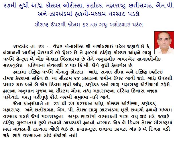
Current Weather Conditions on 23rd October 2013 @ 2.00 pm.
The Well Marked Low Pressure area over West Central and adjoining Southwest Bay of Bengal off south Andhra Pradesh – North Tamil Nadu coasts now lies over South Coastal Andhra Pradesh adjoining West Central Bay of Bengal and neighborhood. Associated Cyclonic Circulation extends upto 4.5 kms above sea level.
The northeast Monsoon has been vigorous over coastal Andhra Pradesh and Rayalaseema and active over South Interior Karnataka and Kerala.
The WM Low Pressure is expected to track West Northwestwards during the next two days across the Peninsula over Andhra Pradesh, Karnataka and then reach vicinity of Goa and adjoining Maharashtra. The System would be near Coastal areas of South Konkan – Goa but may not track far out over the Arabian Sea. Possibility of the System re-curve over Maharashtra exists.
Forecast: 23rd to 28th October
Medium to heavy rainfall expected over Coastal Andhra Pradesh, Coastal Orissa, Karnataka, Tamilnadu,, Maharashtra, Goa, Kerala during the forecast period. Light to medium rainfall over, Madhya Pradesh, Chahtishgarh, and adjoining areas of Jharkhand. Scattered showers or light rain on couple of days of the forecast period over South Gujarat while only scattered showers expected over isolated areas of Saurashtra on one or two days between 26th to 28th October.
Weather Forecast In Akila Daily Dated 23rd October 2013

Sir ! Happy diwali and happy new year! Aa varshe tamara forcast thi ghano labh thayo ! Thankyou!
thanks
Hello.sir,
surendranagar ma chances keva ane again bang on sir ur prediction
sirji
nava low pressure ni asar thi gujarat (sabarkantha) ma kyare varsad avani sakyata 6…varsad samany k vadhare rese..