Current Weather Conditions on 11th November 2013 @ 1.30 pm.
Western Disturbance affected Jammu & Kashmir, Himachal pradesh and most parts of North India from 5th November to 8th November. There was snowfall in the hilly regions and rain showers over the plains of North India. Northeast winds started blowing over Saurashtra, Gujarat & Kutch with windy conditions during the early morning hours. The Maximum and Minimum Temperature over Saurashtra, Kutch & Gujarat has been below normal by 2 to 3 C. for last three four days. The Maximum temperature at Rajkot was 31.3 C. against normal of 34 C. while the Minimum Temperature was 16.5 C. against normal of 19 C.
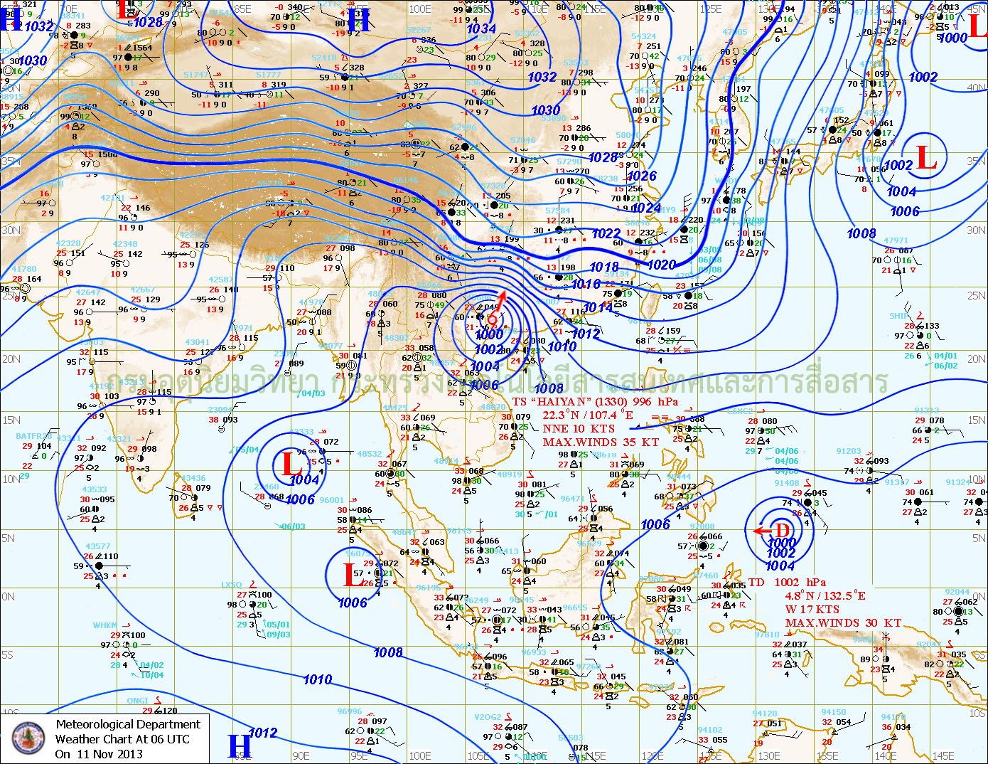
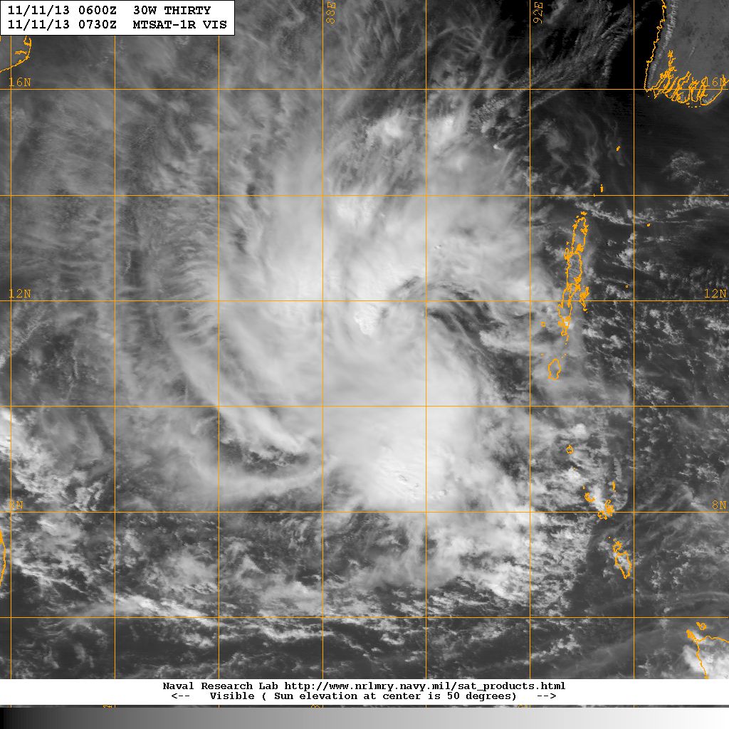
Remanent of 30W.Thirty from the west Pacific tracked into the Andaman Sea on 8th/9th November as a weak Low Pressure. During the last two days the System has tracked mainly West Southwestwards and has now strengthened to a Well Marked Low Pressure with 1004 Mb. Central Pressure, located at Lat. 10.8N & 88.8 E. about 1000 Kms. East Southeast of Chennai.
TMD Map Showing The Well Marked Low Pressure Over Southeast Bay Of Bengal
on 11th November 2013 @ 0600 UTC ( 11.30 am. IST)
NRL Visible Satellite Image of 30W.Thirty (BOB-WMLP)
on 11th November 2013 @ 0730 UTC ( 1.00 pm. IST)
Forecast: 12th to 17th November
Saurashtra, Kutch & Gujarat:
The Maximum and Minimum Temperature will trend upwards and will become normal during the later part of the week. The winds will be from North/Northeast till 14th and subsequently from Northeast/East during 15th to 17th November.
Bay Of Bengal:
The Well Marked Low Pressure is expected to strengthen further during next 48 hours. System will track mainly Westwards during the next three days. Rainfall for Tamilnadu expected between 14th & 17th November.


